Agile Systems
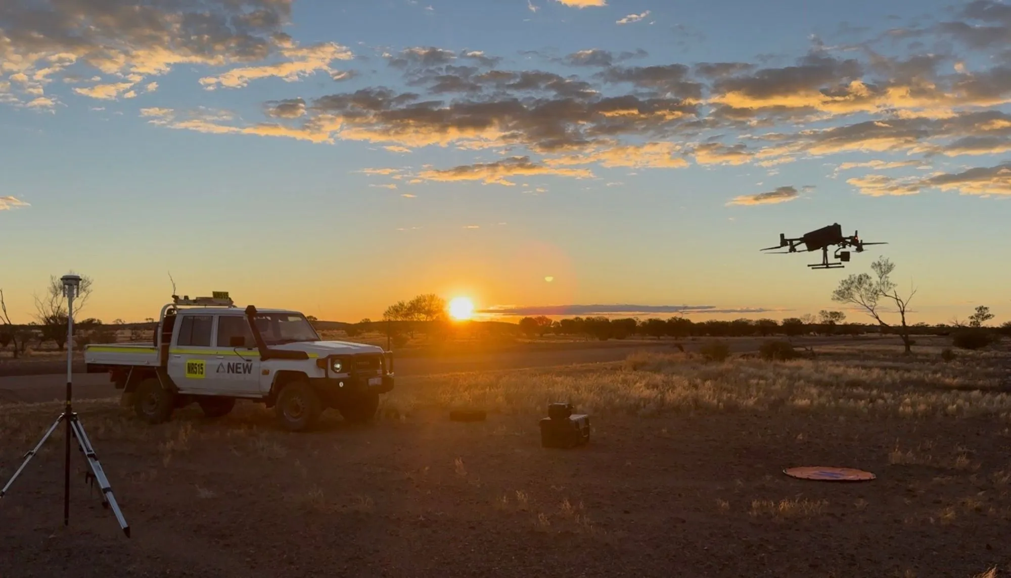
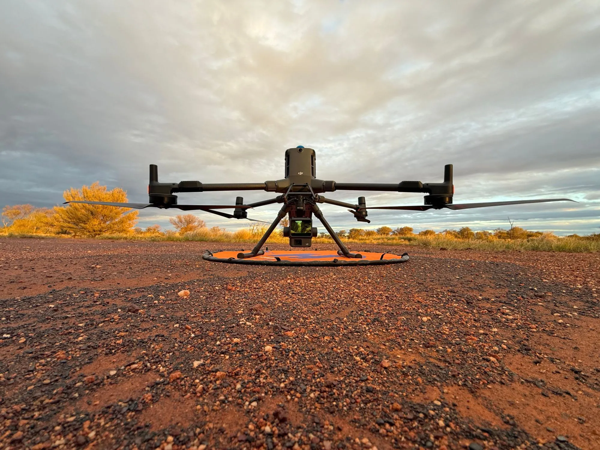
At Agile Systems, we provide high resolution LiDAR, aerial mapping and search and rescue support with experience in the most remote areas of Australia. Our 100% veteran owned business is primarily located in Perth and Adelaide, enabling quick deployments across Australia.

High Resolution LiDAR
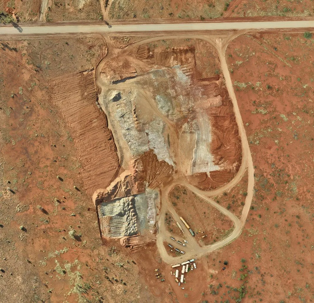
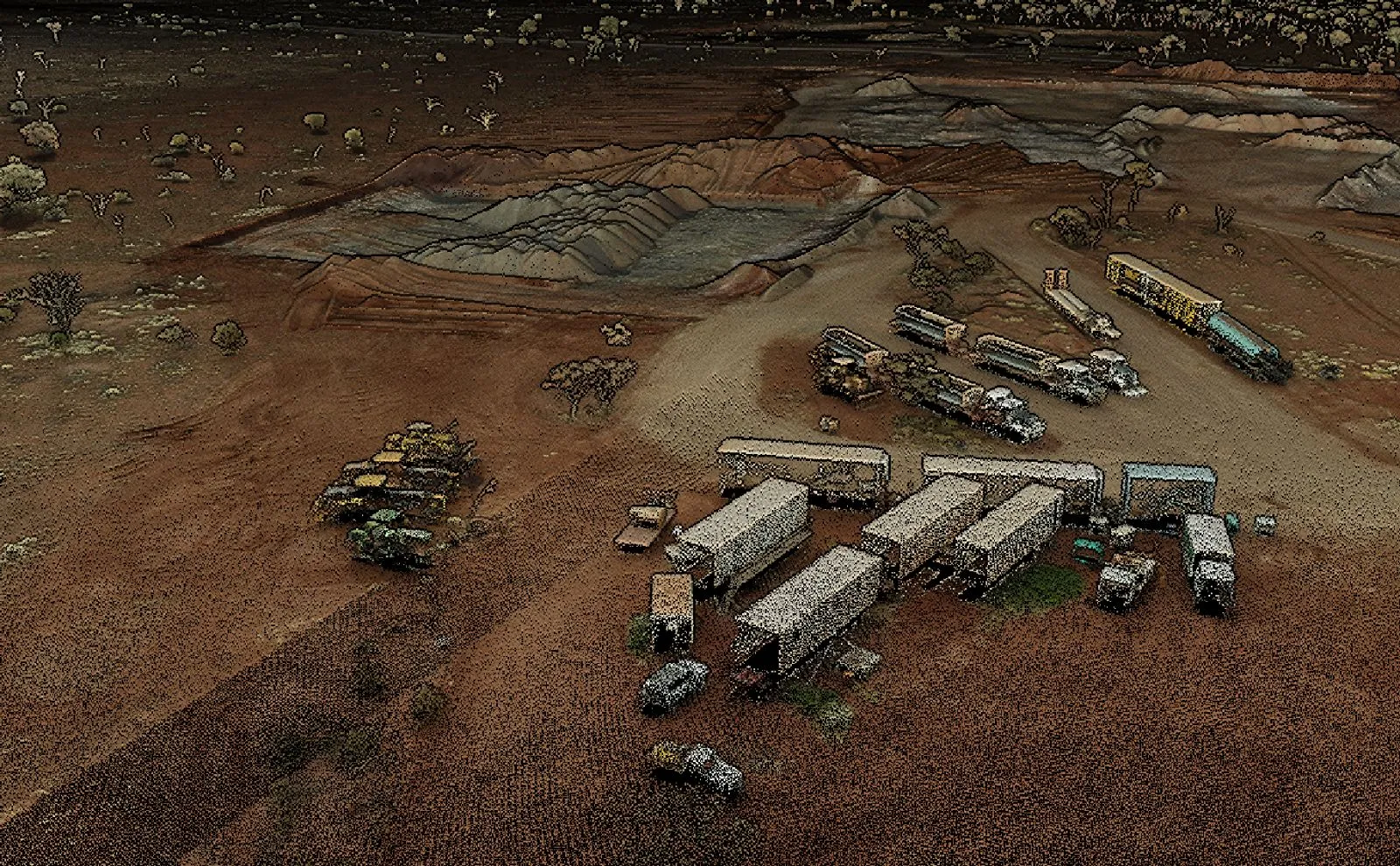
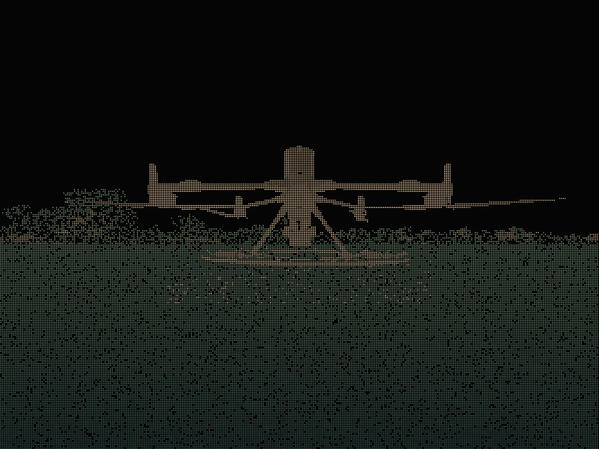
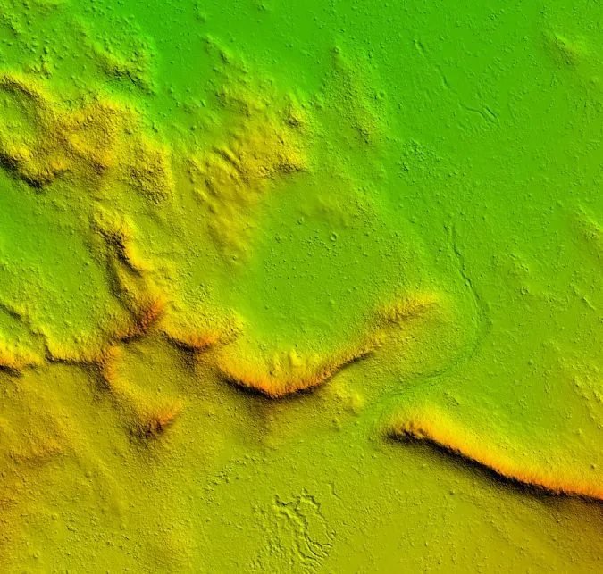
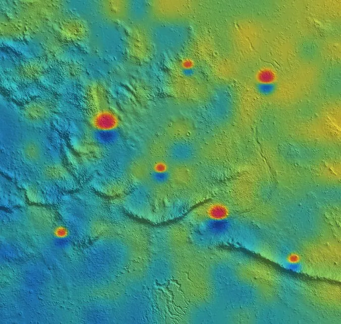
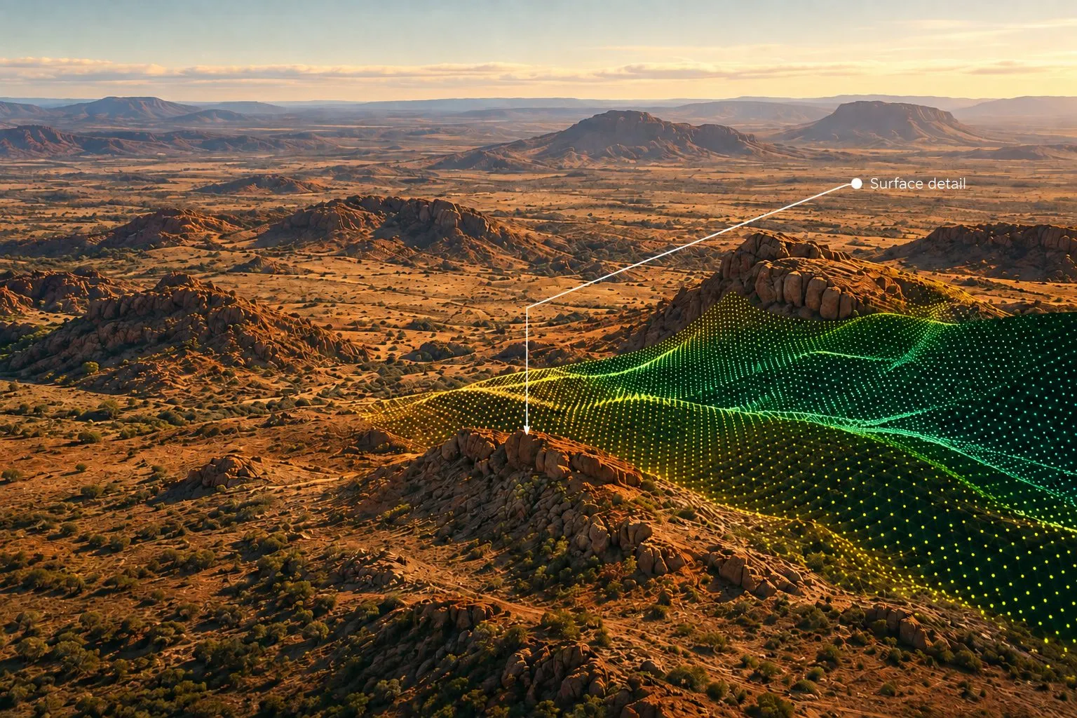
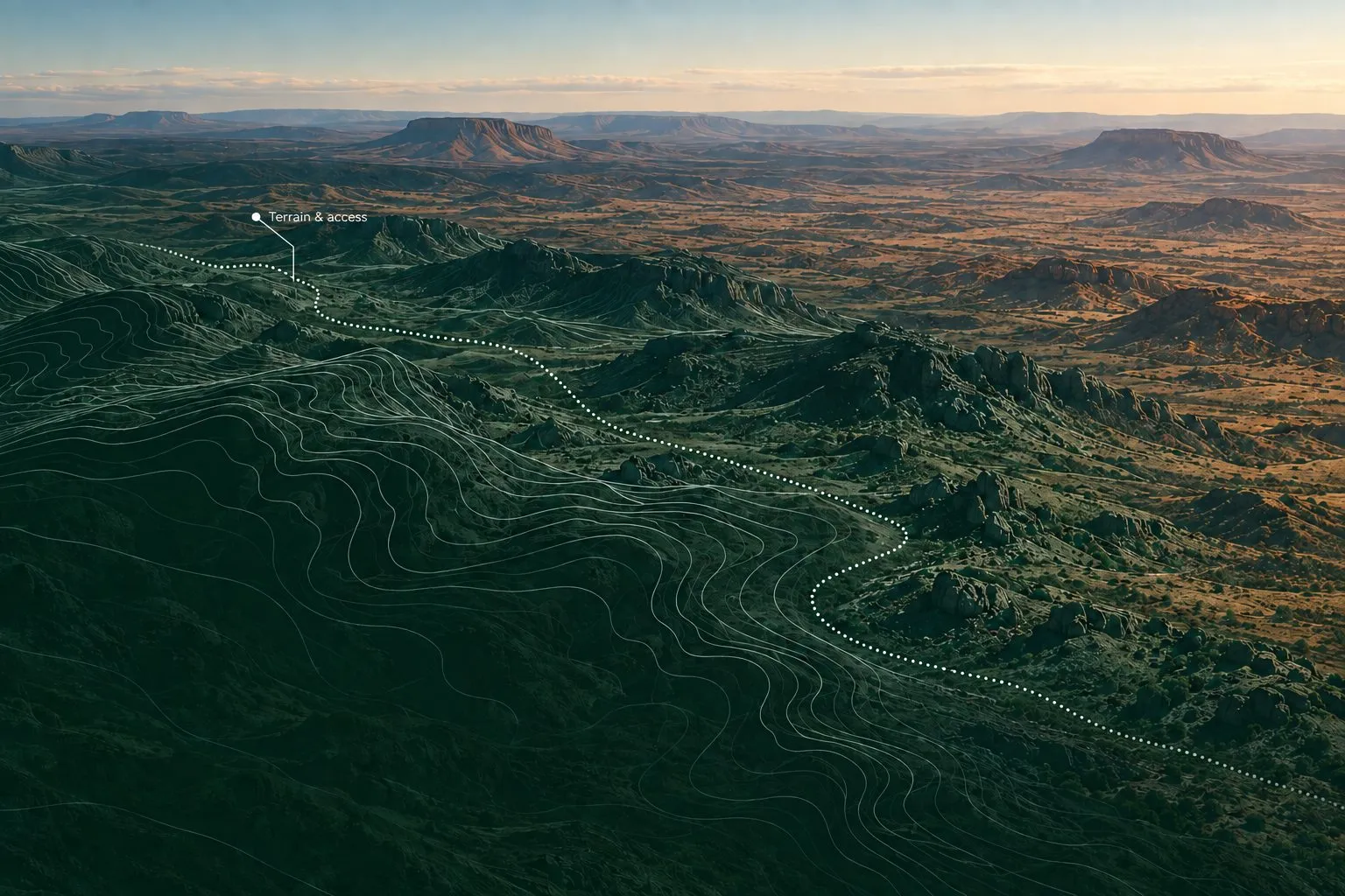
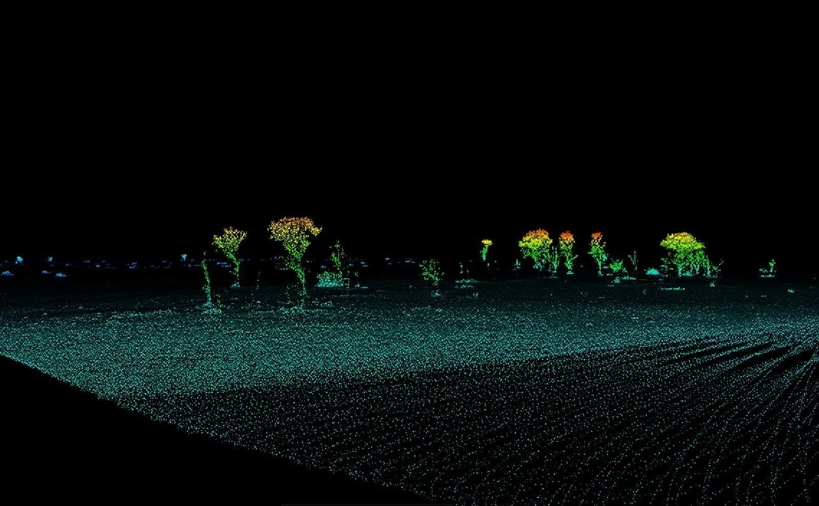
LiDAR delivers the precise, bare-earth topography required to calculate highly accurate asset volumes and monitor highwall stability for active mining operations. For mineral exploration, it penetrates dense vegetation to expose hidden geological faults, structural trends, and surface anomalies that traditional aerial photography misses. Integrating this detailed data into your workflows de-risks targeting strategies, optimizes infrastructure planning, and ensures maximum safety across complex terrain.

Search and Rescue
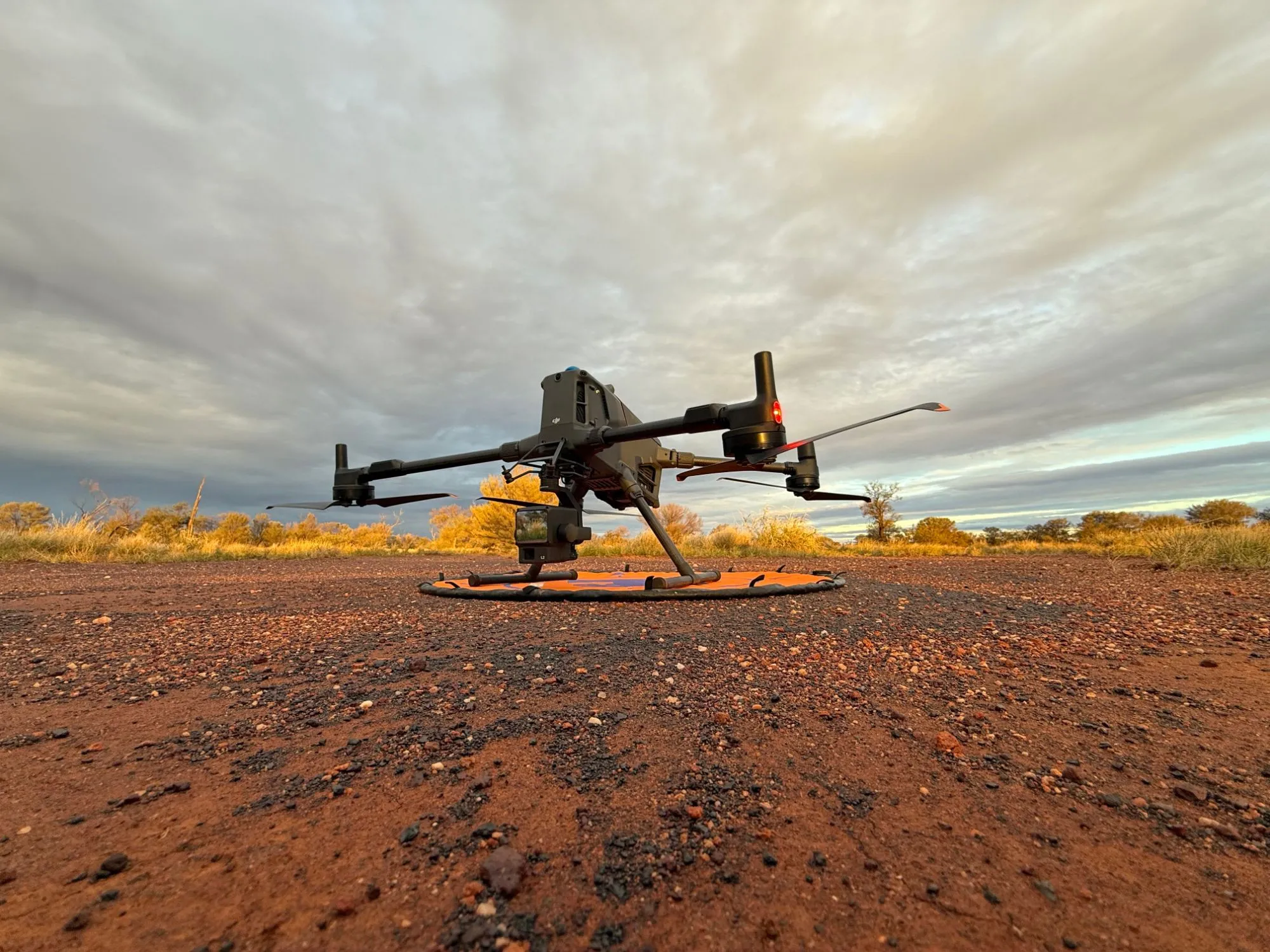
We act as a reliable aerial vantage point to cover vast, rugged search areas quickly. Equipped with thermal and visual cameras, speakers and spotlights, we can locate missing persons through heat signatures in dense brush or total darkness. Streaming live video directly to coordinators, helping ground teams avoid terrain hazards and navigate safely. Immediate situational awareness speeds up rescue timelines and protects field personnel when every second counts.